Leaving Missoula and our family reunion was truly a mixed emotional rollercoaster. After a wonderful week with most of our family, we were headed for another reunion, this time with the glorious Glacier National Park in northern Montana. The drive north from Missoula to Glacier can be done via two routes. The less direct, Route 83, takes you along the foothills of the Bob Marshall National Forest. We chose to take the quicker route as our desire was to reach Glacier as soon as possible. Rt. 93 to Rt. 35 takes you on a magnificent path along the Flat Head Lake, the largest freshwater lake by surface area west of the Mississippi in the lower 48. The lake is a busy and booming summer and winter playground as evidenced by the many campgrounds, resorts, and beautiful homes that front this massive body of water. The Flathead Indian Reservation, is home to the Bitterroot Salish, Kootenai, and Pend d’Oreilles tribes, also known as the Confederated Salish and Kootenai Tribes of the Flathead Nation. Confederated Salish and Kootenai Tribes of the Flathead Nation. The Flathead drainage system and the west side of the park were originally part of the territory of the Qlispe band known as the People of the Broad Water. This was the ancient name for the Flathead Lake. The Confederation controls most of the Flathead Lake now. Shortly after we passed Flathead Lake we passed several fields of startling day-glo yellow Canola which magically jumped right into through our window.
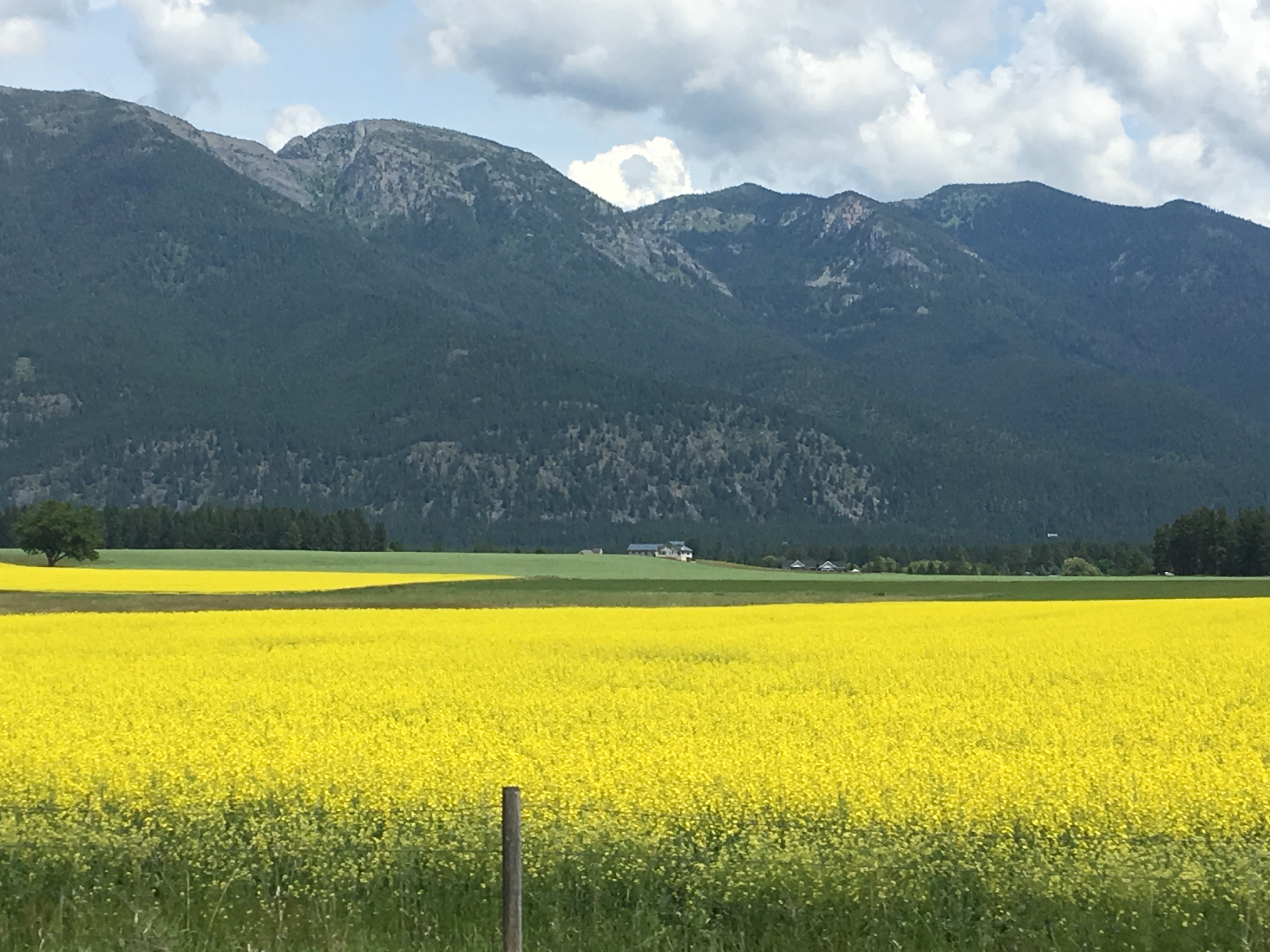
After a few scenic stops along the way, we finally arrived at Glacier, after 44 years away from the park.
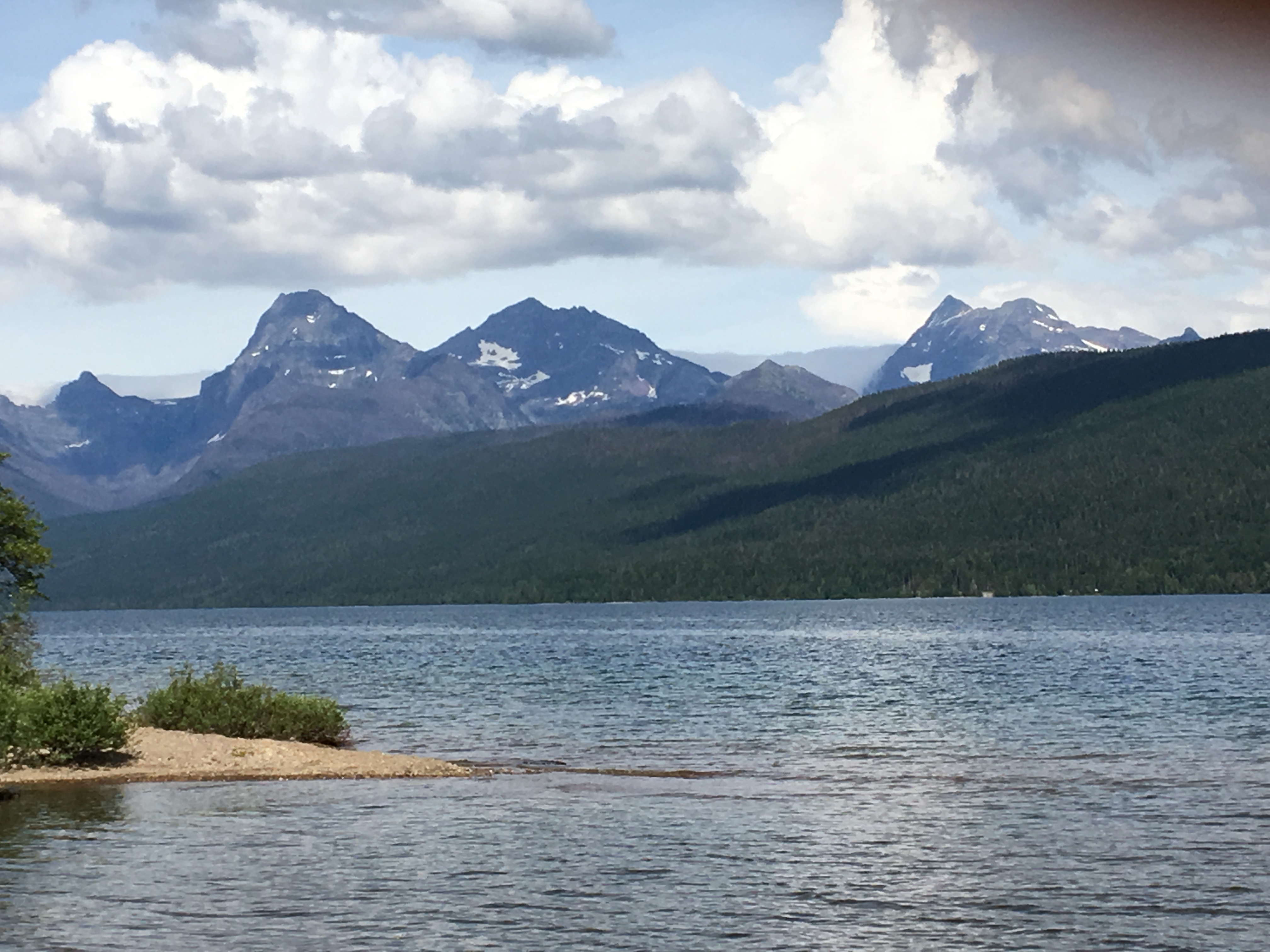
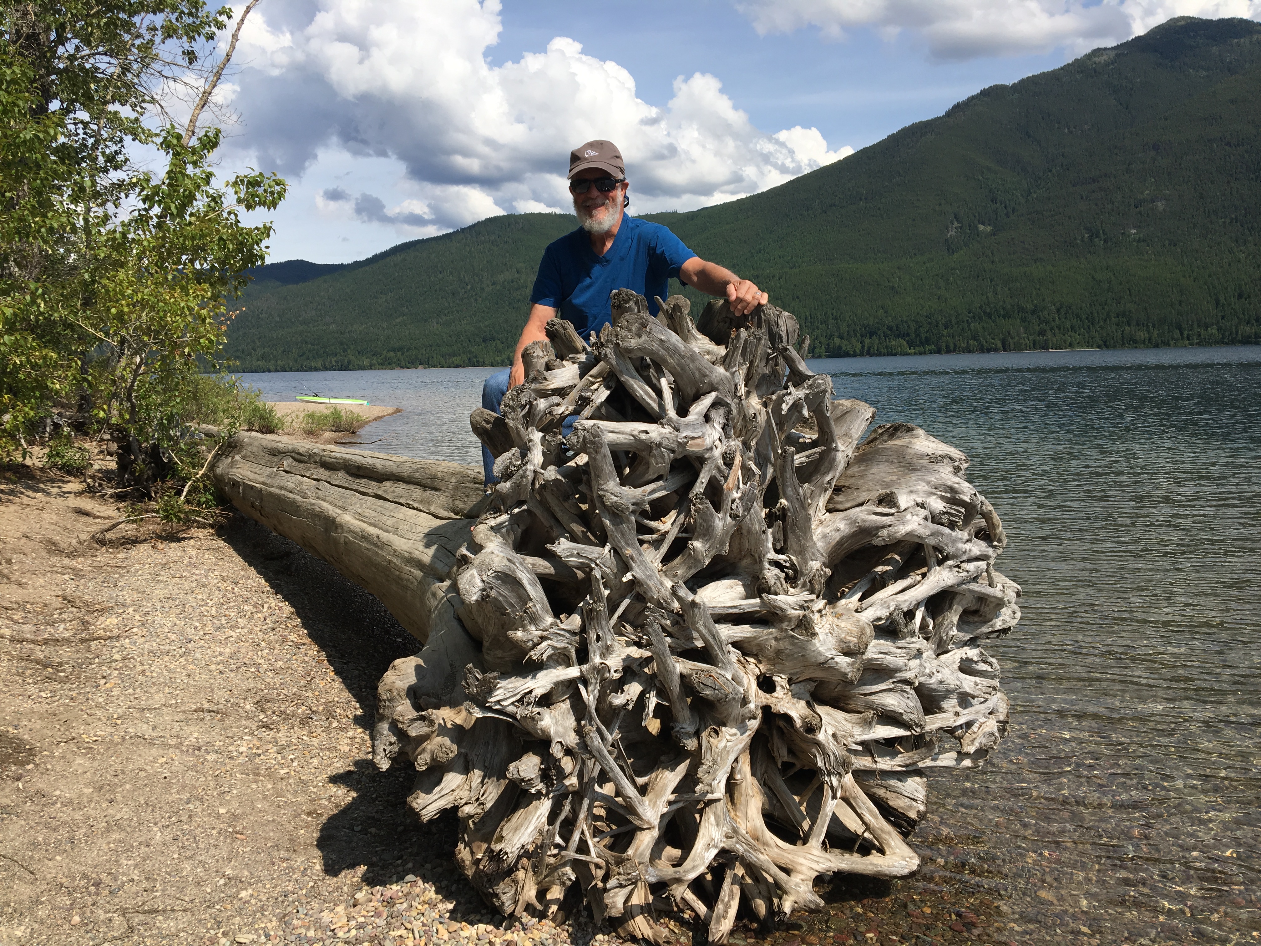
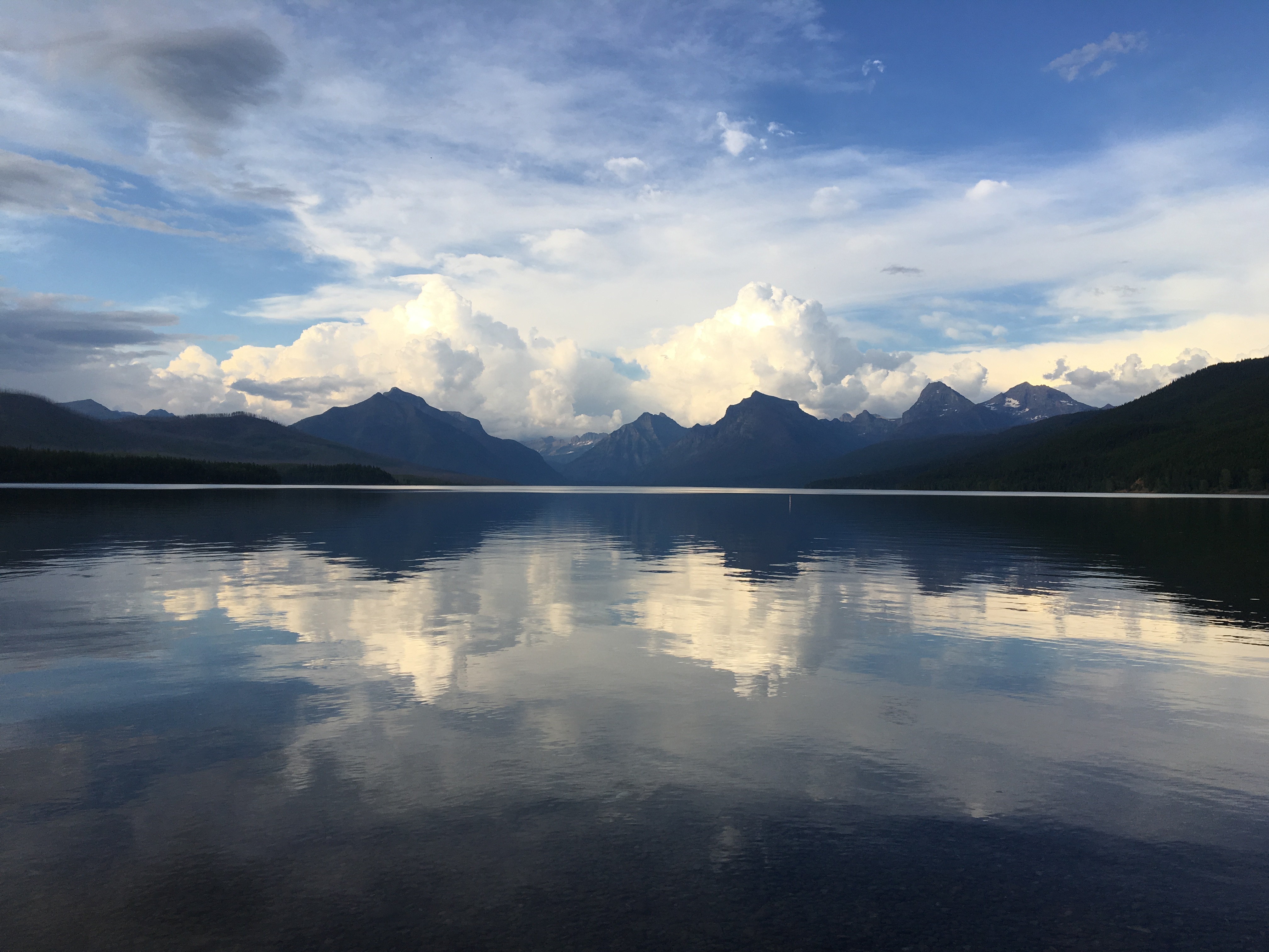
In 1975, we spent a portion of our honeymoon camping and hiking in Glacier, at that time on the Eastern front, hiking to Grinnell Glacier. This time we approached the park from the western entrance at West Glacier and camped at Fish Creek Campground. We had decided on Fish Creek because it is the only campground on the west side of the mountains that allows for advanced reservations. St. Mary’s on the east also allows for reservations, but all of the other camping in the park is first come, first served. However, for logistical reasons, we moved to Apgar Campground after the first night to be closer to the Visitor’s Center to access the free shuttle buses that are available to take you up and into the mountains. There are 13 campgrounds in the park, but none with electrical service. There are restrooms that are very clean and well maintained and some of the various campground loops offer free showers. Apgar Campground is within walking distance of the Visitor’s Center and also Apgar Village, a quaint little area with a few gift shops, restaurants, cabins, a motel and boat rental. It is located on Lake McDonald, perhaps one of the most scenic lakes in all of the United States.
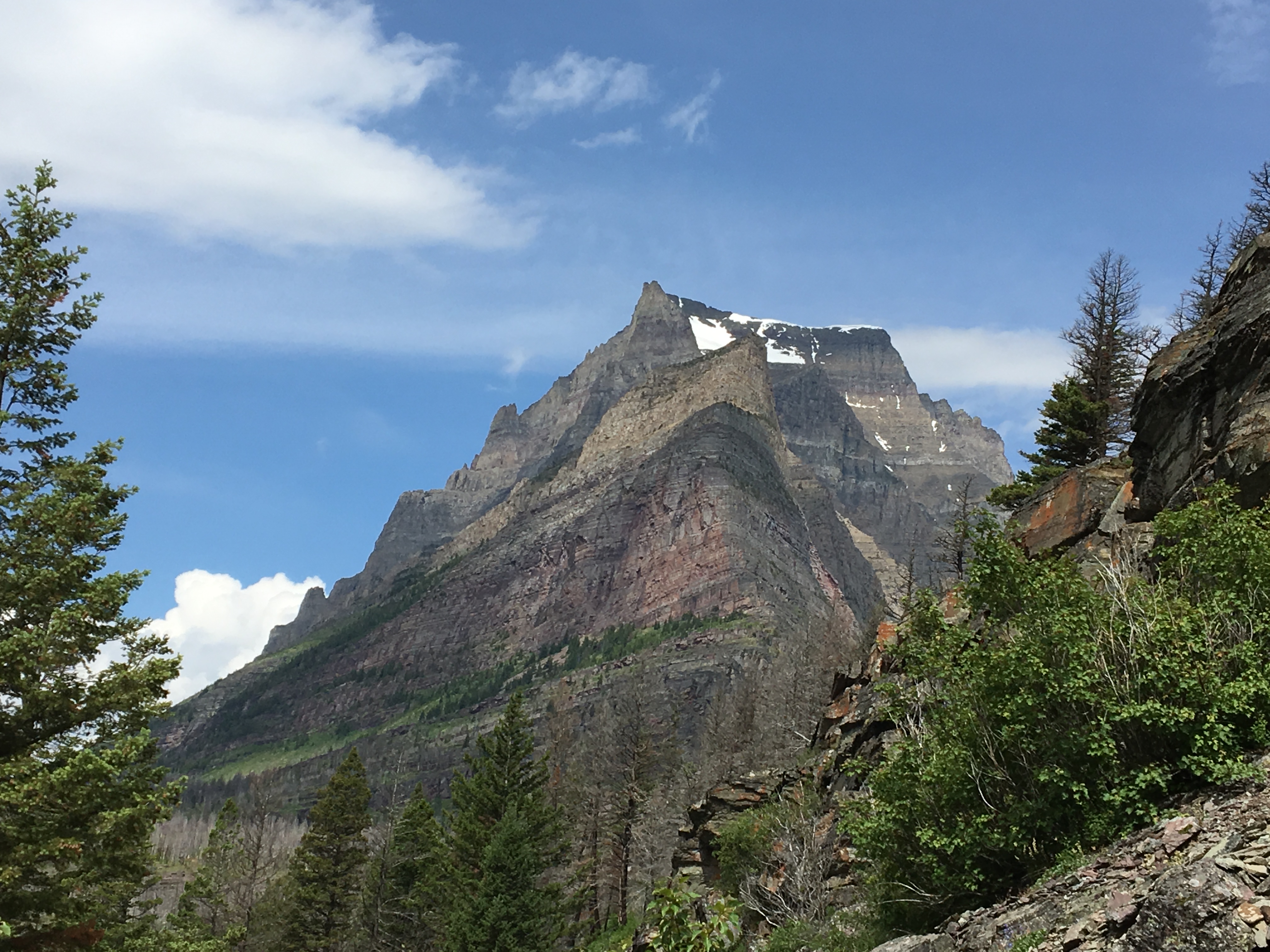
But enough talk of the business end of the park. The mountains, lakes, glaciers, waterfalls and hiking are what makes this park the “Crown of the Continent.” (quoted from the park literature) Glacier is considered one of the crown jewels of the National Park System. The shared border with Waterton Lakes National Park, in Canada, contributed to Glacier being named a World Heritage Site and also names it the world’s first International Peace Park as well as the world’s first Dark Sky Park.
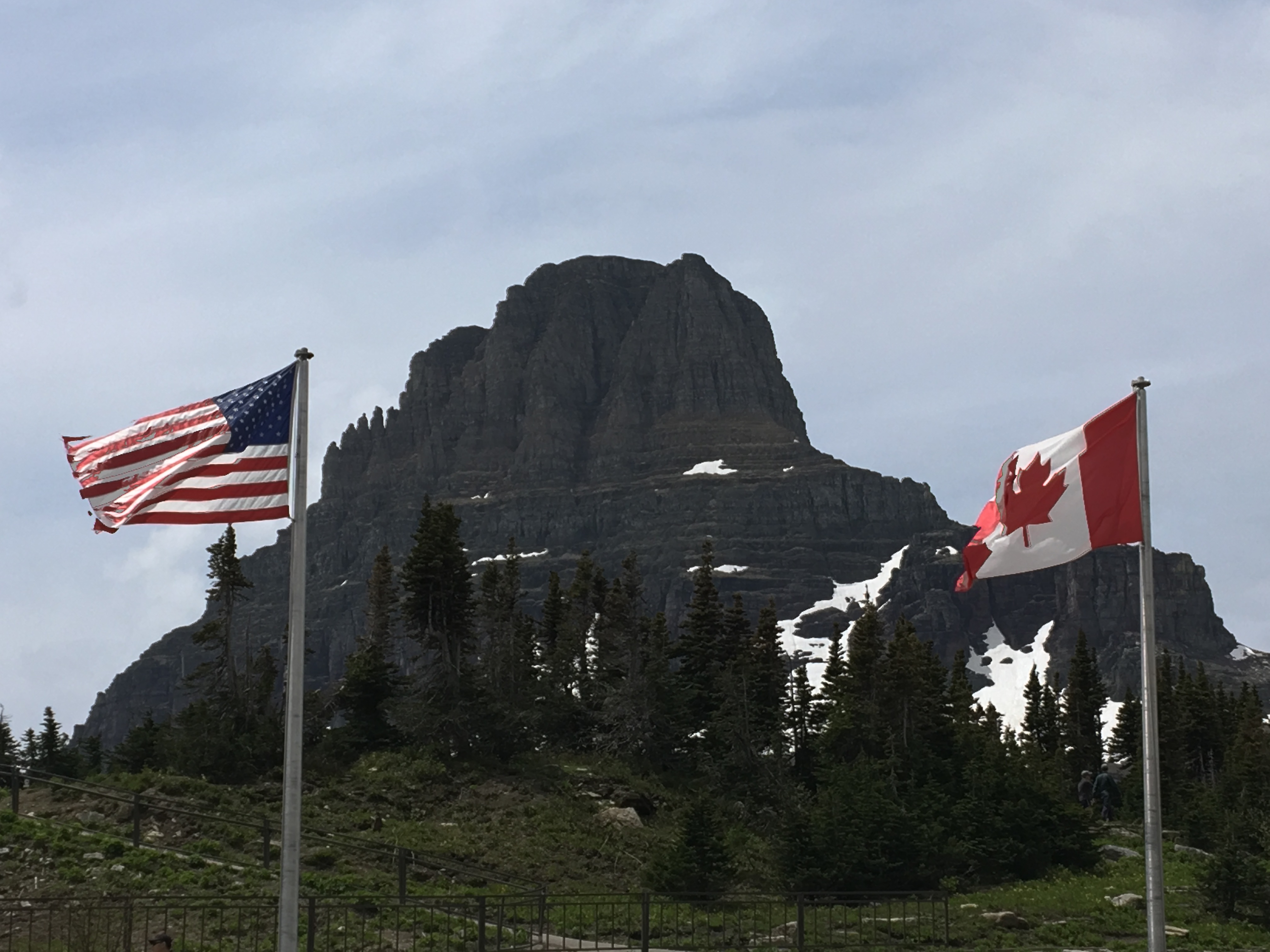
There are few superlatives that can adequately convey the grandeur and the majesty of these mountains, snow-capped, glacial, touching the sky. The main road that leads from the valley floor is called the Going- to- the- Sun Road. From end to end (Apgar to St Mary’s Visitor Centers) the road is 50 miles of winding switchbacks with sheer cliffs, waterfalls that cross under the road and never- ending beauty. This drive is considered by many to be one of the most scenic roads in the world. The views open to deep valleys, wide views of 10,000’ mountains, glaciers and waterfalls. Along the route there are many turnouts, but in the short season that the road is open, there are few available parking spaces due to traffic congestion. The shuttle bus offers a good alternative to driving your vehicle but of course, does not stop at each overlook. It makes scheduled stops at many hiking trail heads and at Logan Pass Visitor’s Center, the summit. The road is so narrow and winding that vehicles over 21’ are prohibited between Avalanche Creek and Rising Sun. (Thus RV’s are not recommended for this byway.)
There is an abundance of hiking trails for every ability, length of time you want to spend and sites that you may want to see. The park calls out to be explored as much as possible on foot. In addition to many day hikes, there are many backpacking hikes that offer the adventurer a world class journey and some of the most challenging trails in the US. Be advised that this is serious bear country and one should always carry bear spray as a potential life saver.
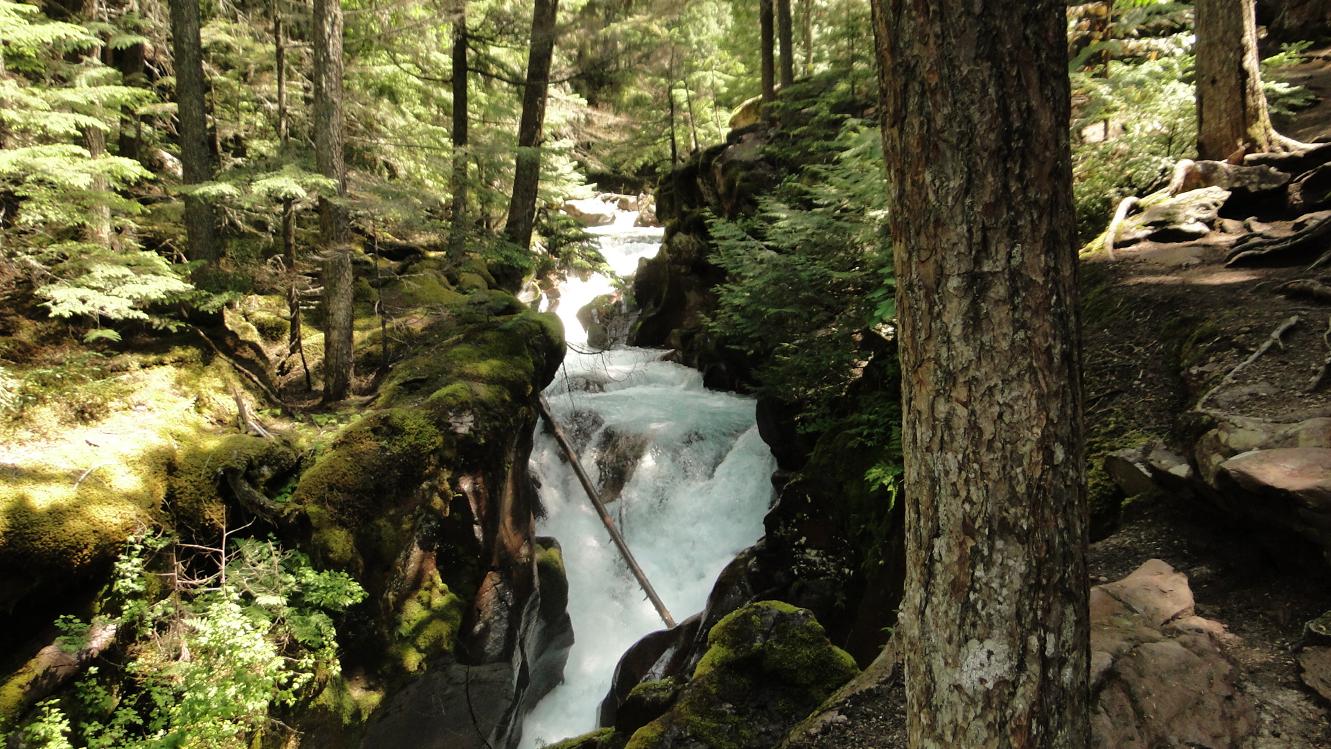
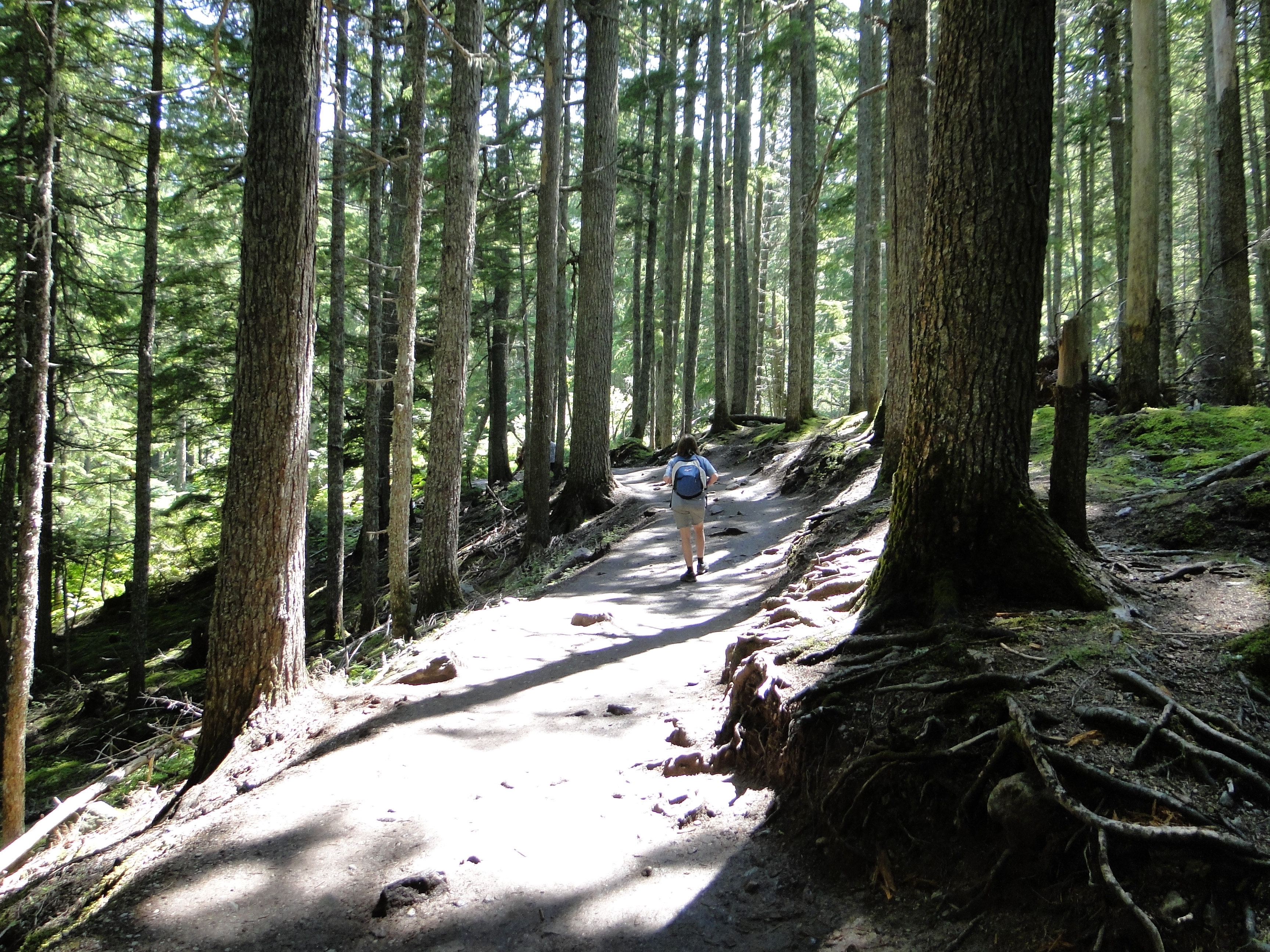
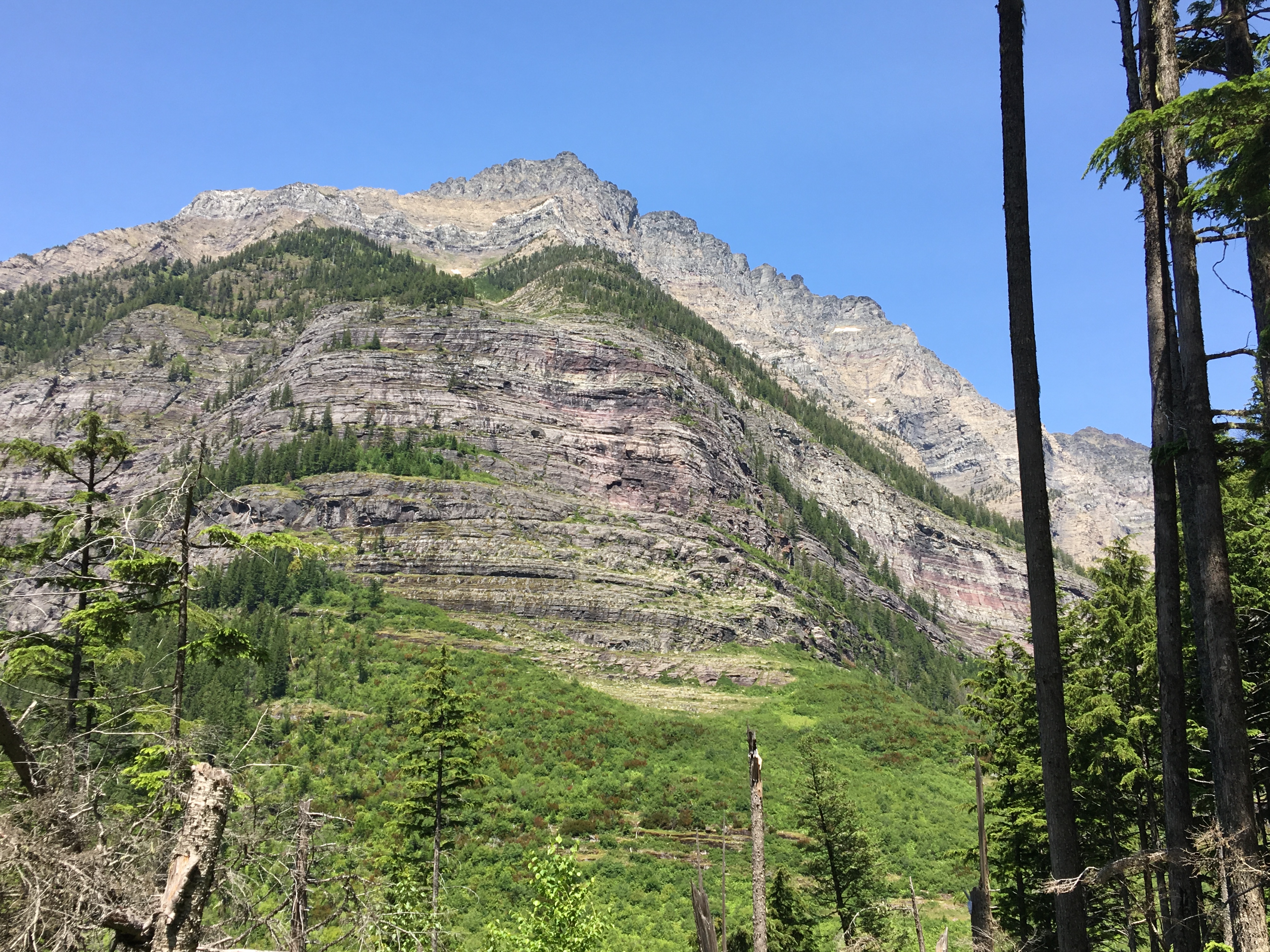
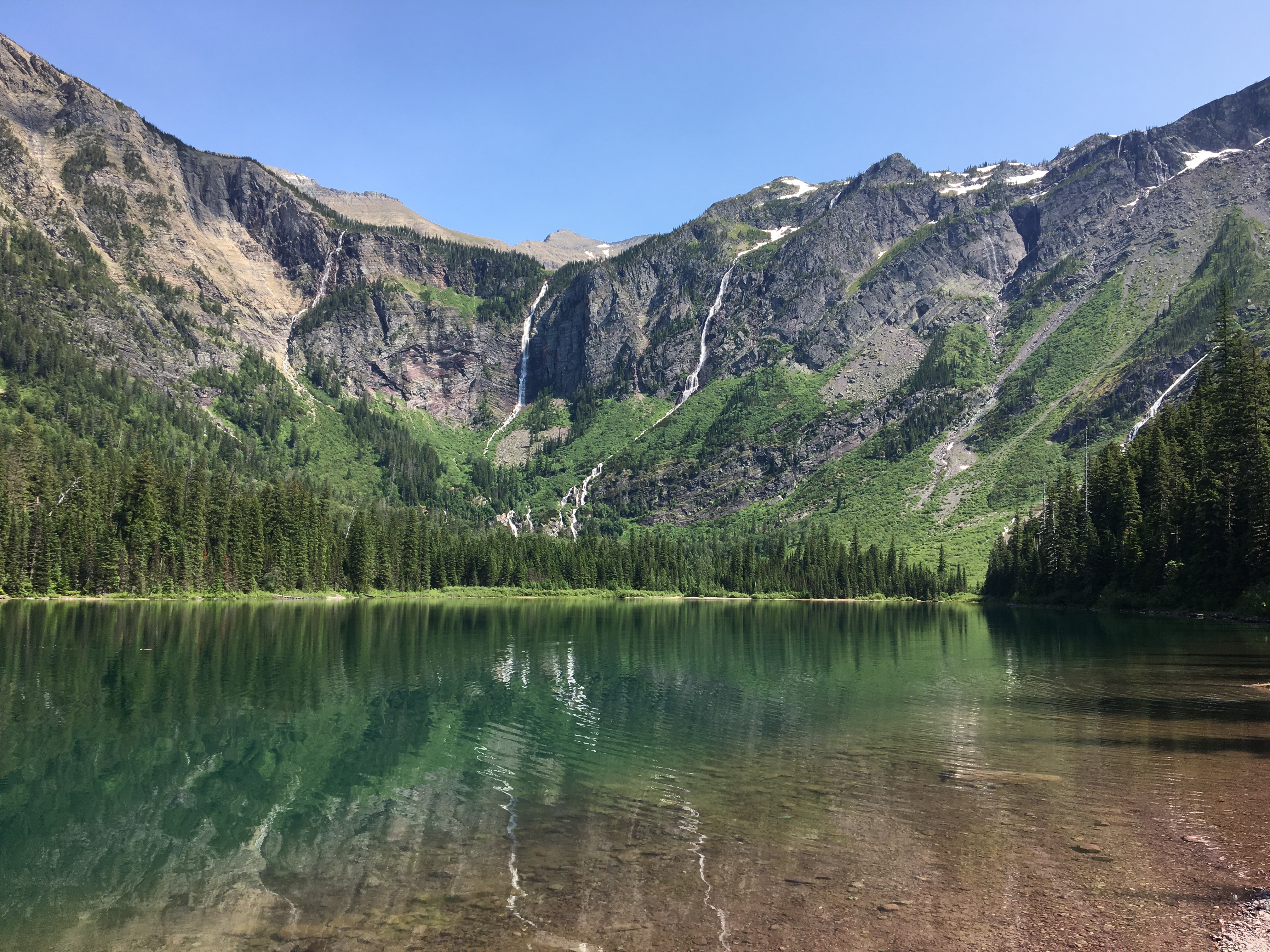
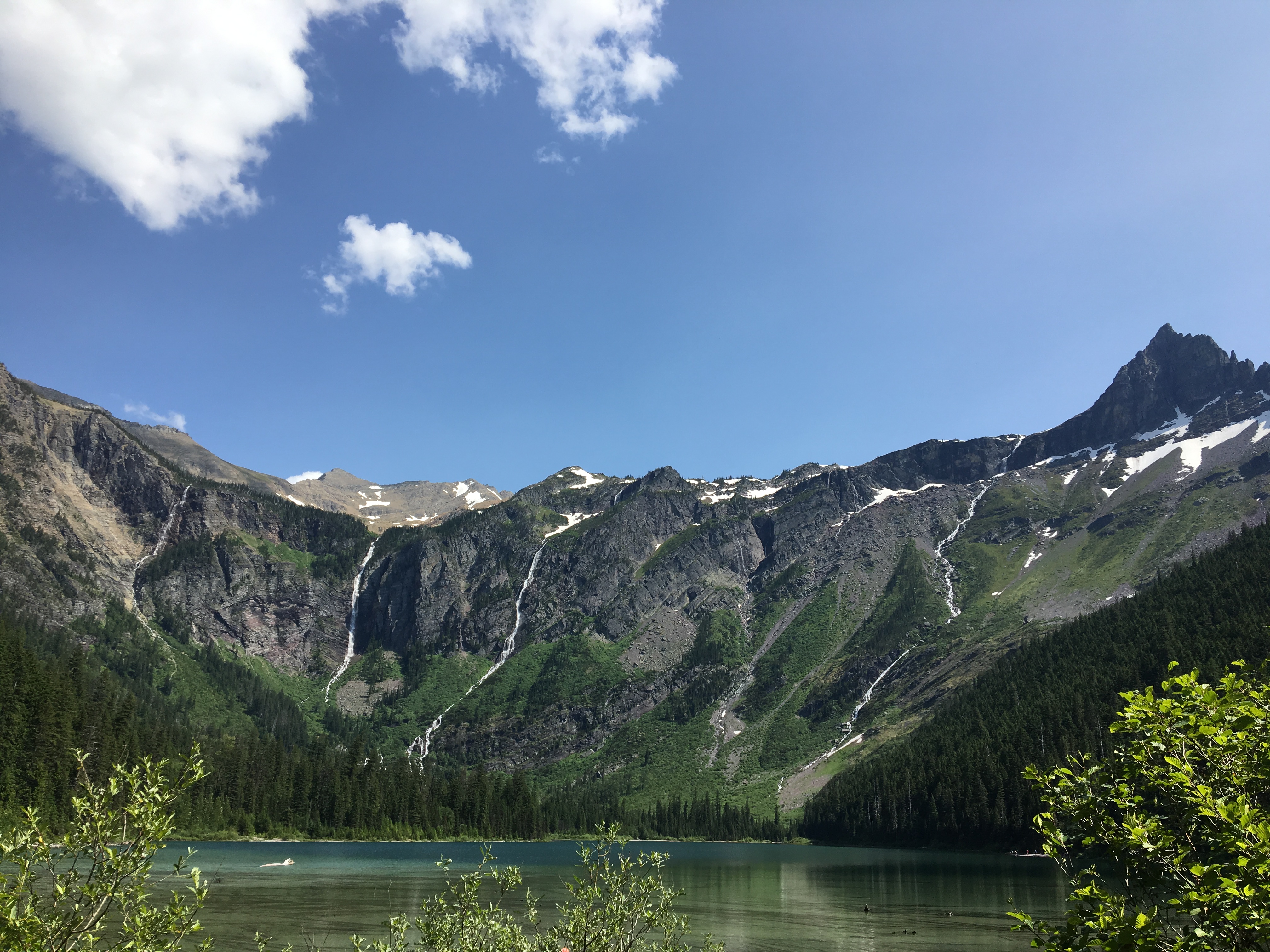
We first chose to hike to Avalanche Lake, a 5 mile round trip that begins at the Trail of the Cedars. (This trail head is a stop for the shuttle bus) This first, shorter trail is handicap accessible with a beautifully designed and constructed boardwalk that meanders through a grove of ancient western hemlocks and red cedars, some up to 100 feet tall with diameters of 4-7 feet. After you leave the boardwalk, you immediately begin to climb aside the path of the roaring Avalanche Creek. This beautiful creek is dotted with waterfalls and rushing water that emanates from the glacial fields above the Avalanche Lake that is our destination. Though considered a moderate hike, this trail ascends quickly and continues to climb for some 2 ½ miles. We passed many folks who were clearly not in the proper conditioning for such a hike and even encountered several groups who turned back as the level of difficulty became apparent. I’ll let the pictures speak for themselves.
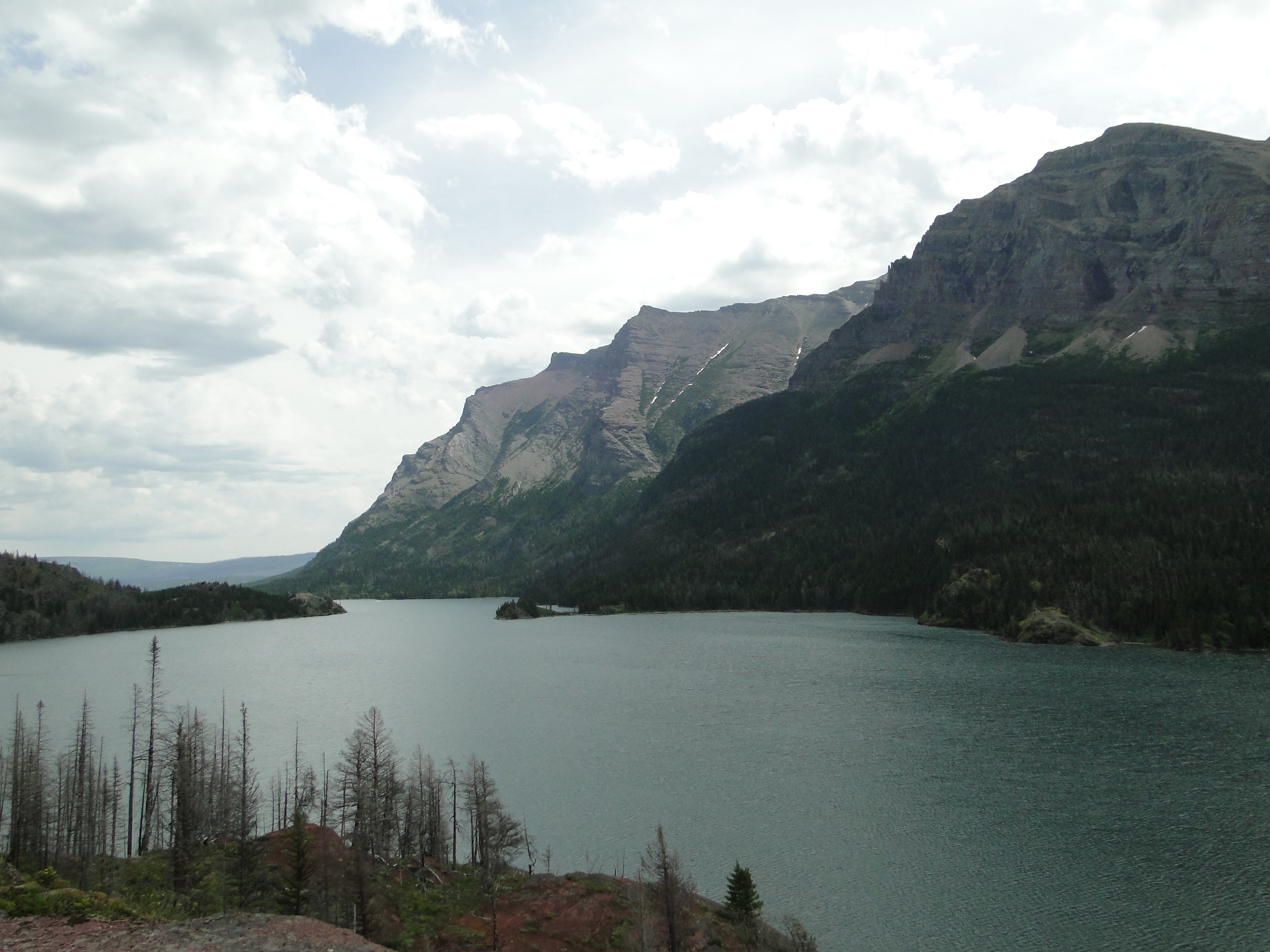
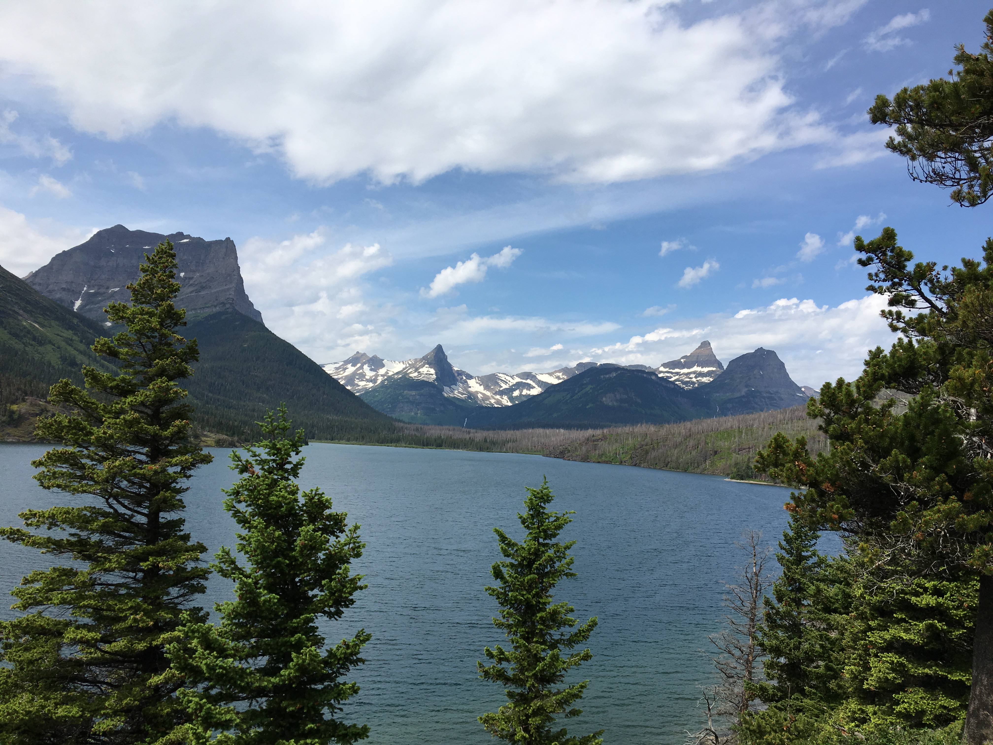
On day two we took the shuttle bus all the way across the mountains to St. Mary’s Visitor Center so that we could then view the park from an easterly direction. (Approximately 2 1/2 hours due to the nature of the road, traffic, and the wonderfully courteous bus drivers who yield and slow behind the many bicyclists until there is adequate room to pass.) We also wanted to see the movie that shows there, in particular delving into the construction of the Going-to-the-Sun Road, an engineering marvel. After a brief walk around the St. Mary’s area, we took the shuttle bus to the trail head for Saint Mary Falls. This hike was high above the Saint Mary Lake and negotiated a rather steep side of the hill but was only about 2 miles in total and passed the beautiful Baring Falls. This trail also continues to Virginia Falls but we opted to finish the loop at the road where the next shuttle bus stop is located.
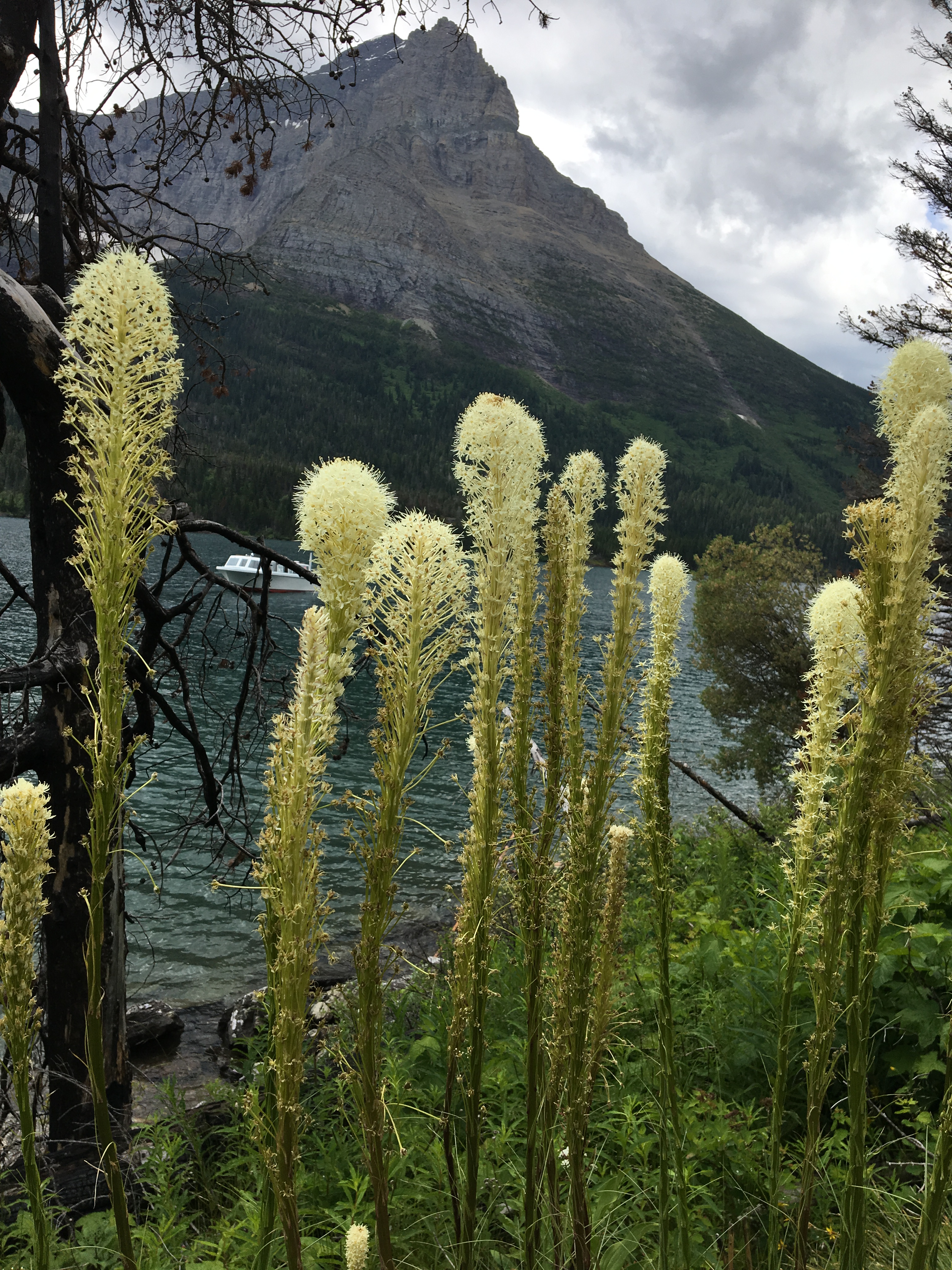
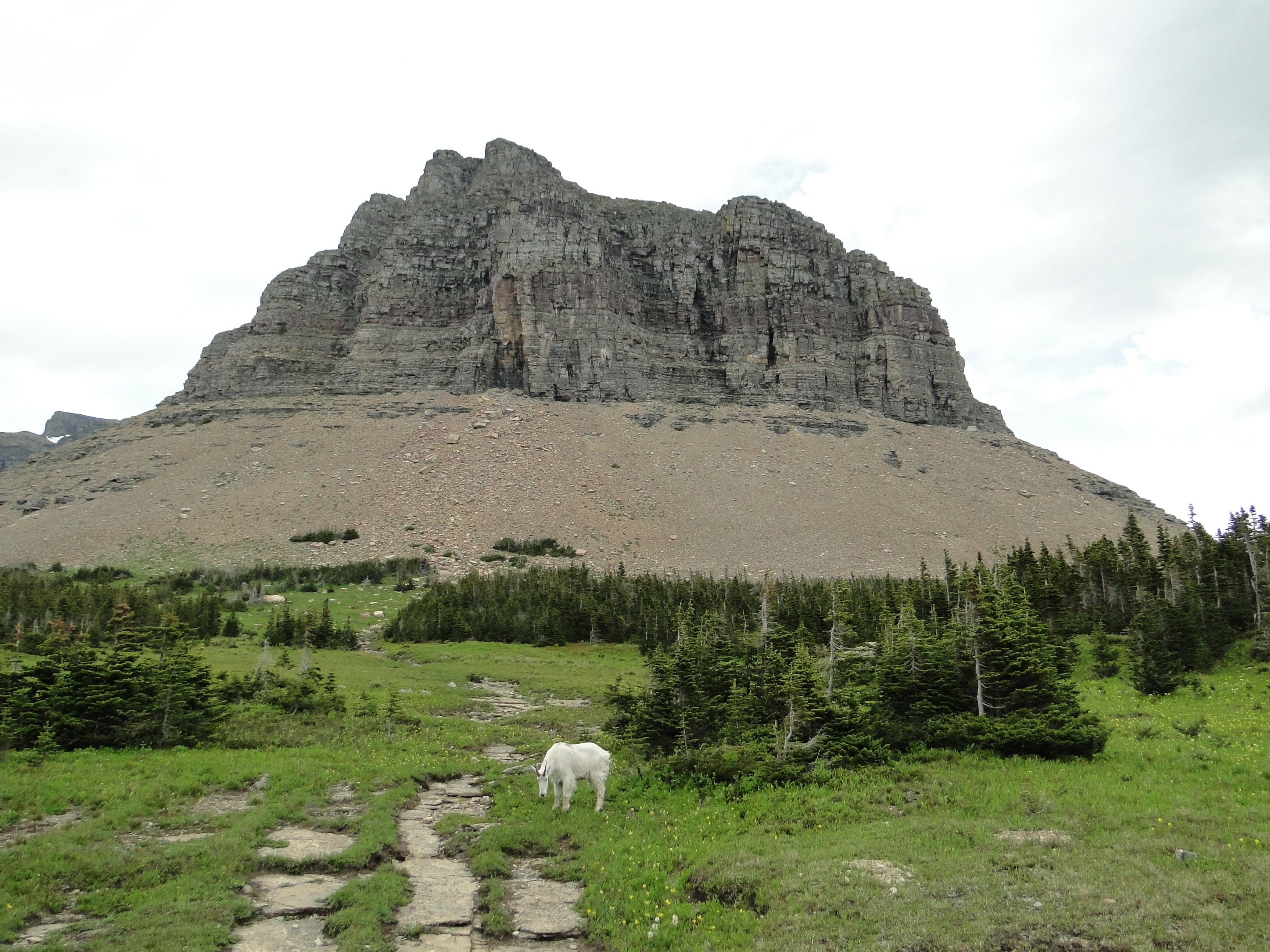
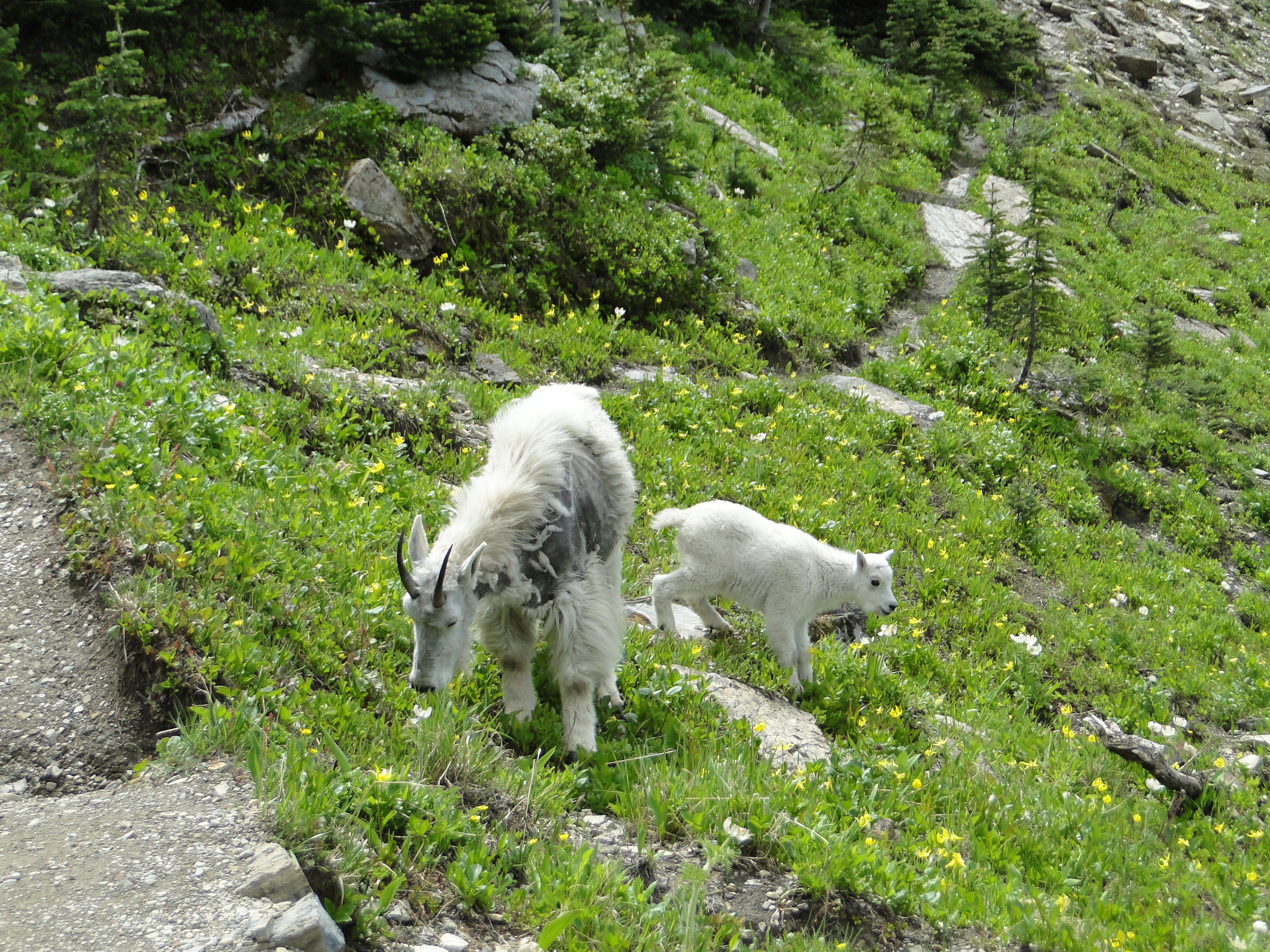
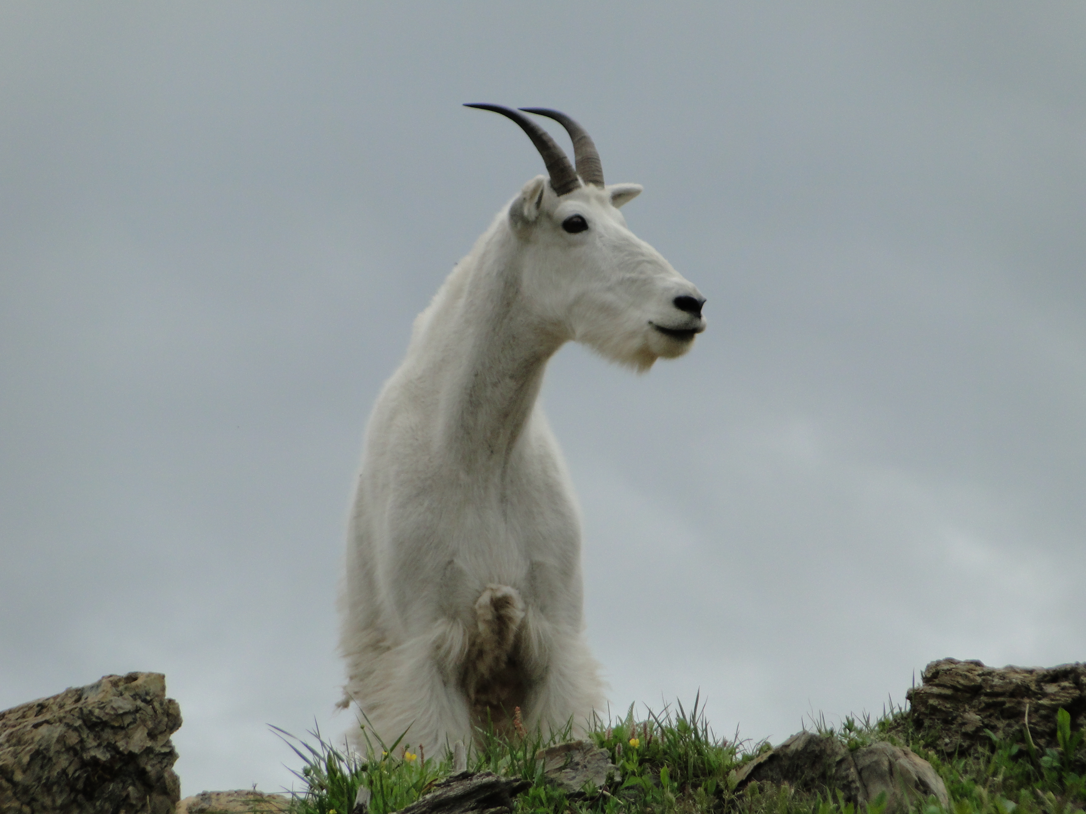
We next took the shuttle bus to Logan Pass where we took a brief hike on the Highline Trail which runs aside The Garden Wall, an arete, or rock spine that separates the Many Glacier region of the park from the Lake McDonald Valley. Our encounter with a family of mountain goats was a lovely surprise around a corner on the trail.
The final day at Glacier, we sat upon the shore of Lake McDonald and let the grandeur, calmness and serenity settle into our every pore.
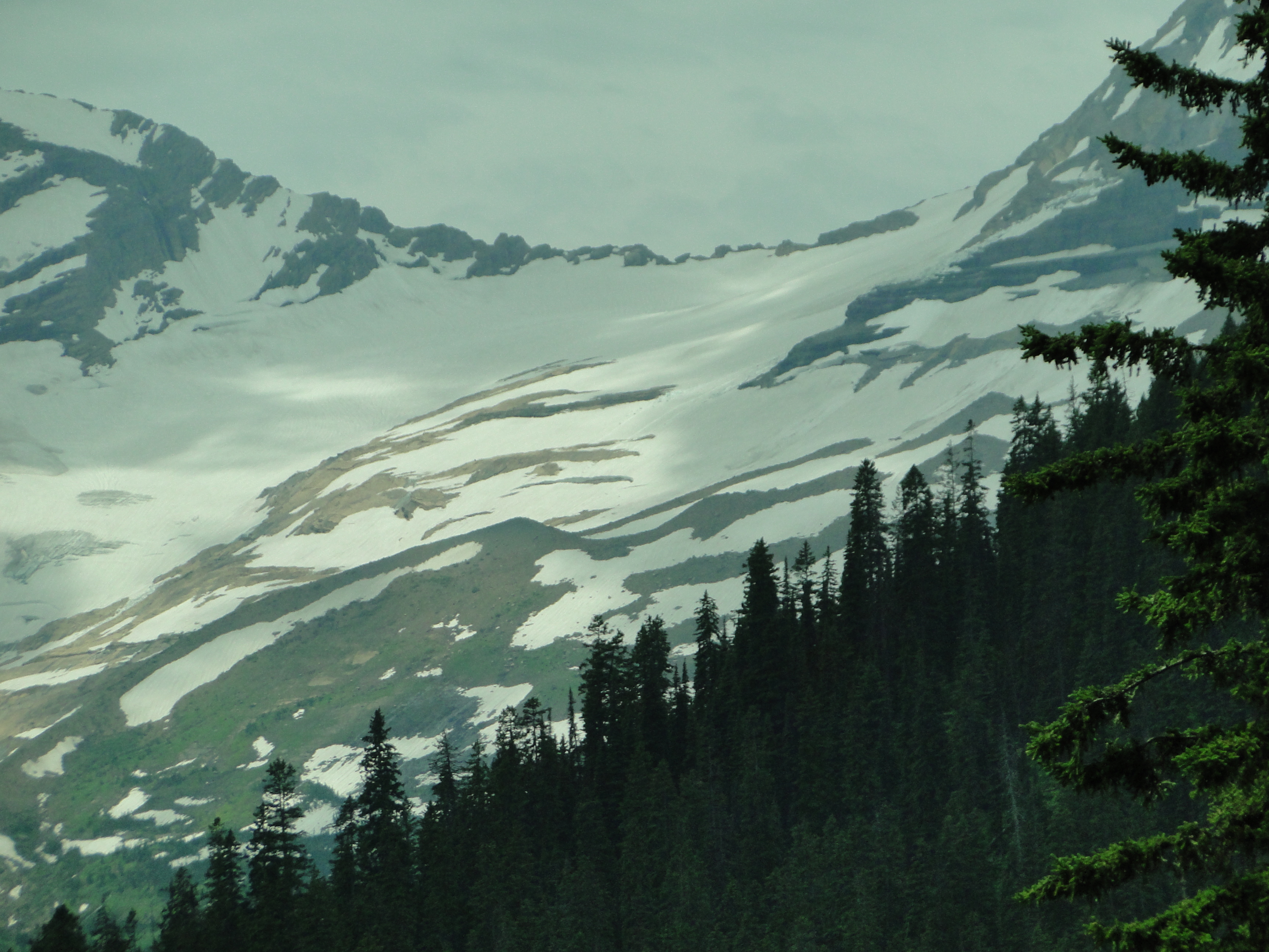
Note: In 1966 the park had 35 named glaciers. (Defined as active and moving) By 2015, nine of those were already inactive. There are many dynamics at play here but one thing is consistent. All of the glaciers have receded since 1966. If you want to see this park in all its glory, don’t delay. It is estimated that all of the glaciers will be gone by 2030.
Our next destination –the Canadian Rockies.


Great info. Was at Glacier NP 1973. I tell folks it’s a must see. Shame 9 glaciers are inactive and the demise of the park is inevitable. Continue to have fun!!
LikeLike
Great photos! You really captured the essence of the park. Way to go bro!
LikeLike
Glacier was one of Alissa’s favorite stops on her road trip two years ago. Your photos in this post literally brought tears to my eyes. Thank you Jay and Ellen
LikeLike
I love this post Jay! What a beautiful place. And it looks like you made some furry friends 🙂
LikeLike
Beautiful pictures,we hit Glacier in early Sept.2018,we camped on one side of the Park and crossed the Road to the Sun,but part was closed due to a snowfall the night before,so we had to turn around…I think July/Aug.are probably the best,even with the crowds.Glad you are enjoying your trip.Trish
Sent from Yahoo Mail for iPad
LikeLike
Another great post with great pics ! I agree, using the shuttle bus is the way to go. This is one, of many parks, that everyone should visit. We also hiked to Avalanche lake, a beautiful hike. I plan to go back again to Glacier. Can’t wait until your next post, and safe travels…
LikeLike
Absolutely gorgeous.
LikeLike
Fantastic pics and descriptions of Glacier NP. Returning to the park after so many years away is such a blessing and a great memory jog. Don’t know if you’re heading to Banff and Lake Louise — I’ve always wanted to go there. Be safe and sound and keep on informing your vast national audience of your progress.
LikeLike